Amersfoort
The Medieval Ring Town on Higher Sand, at the Crossroads of Dutch Rail
Explore the Town ↓Life in Amersfoort
Canals, wall houses and a medieval water gate surround a center people still call home. Amersfoort’s major rail junction makes that historic setting unusually well connected.
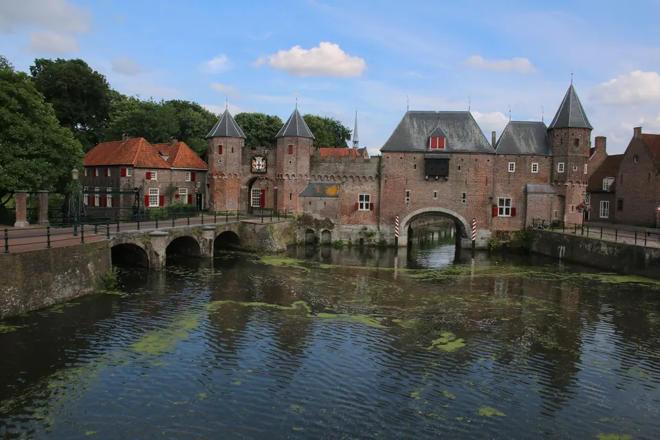
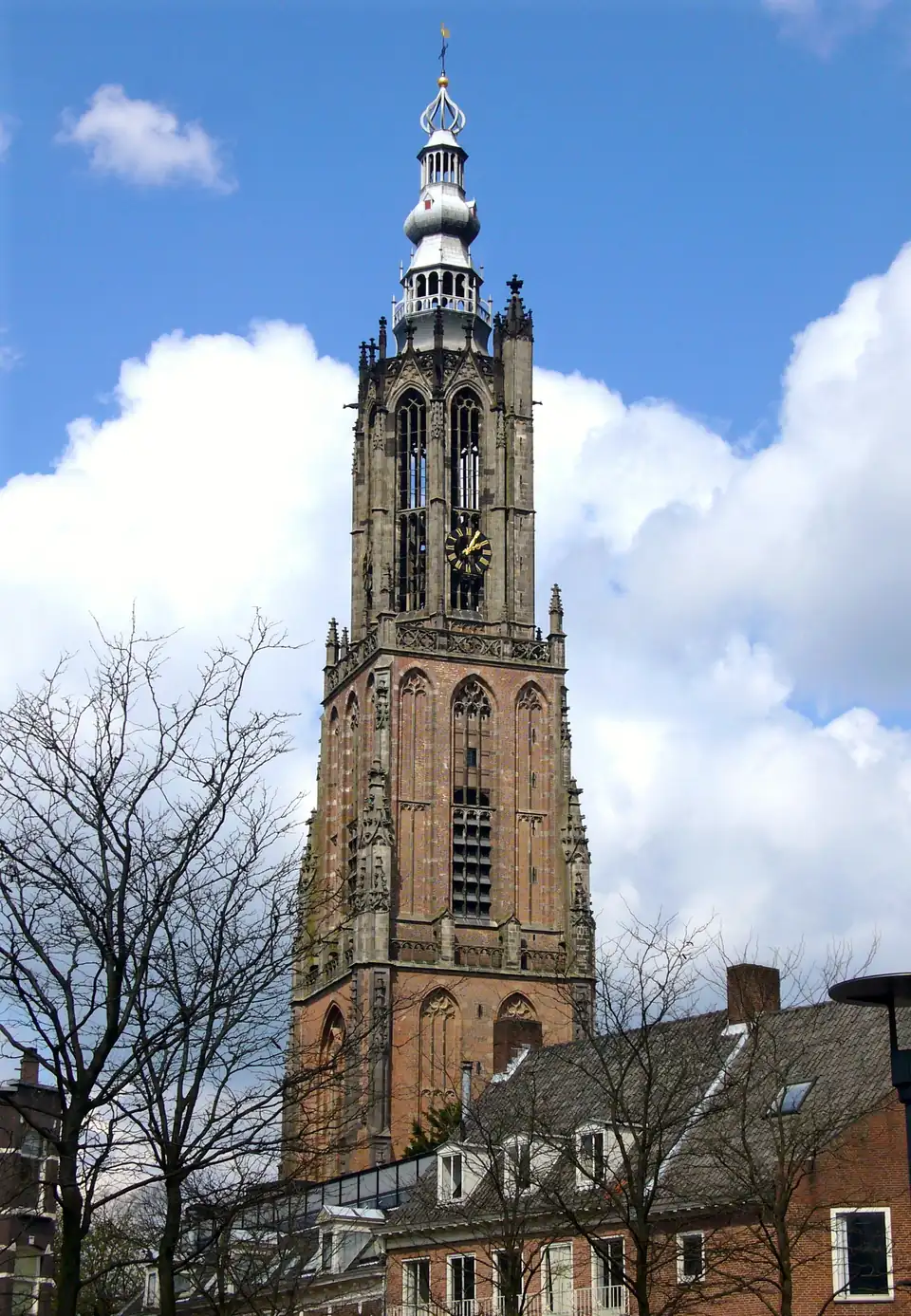
Amersfoort has an intact medieval ring of canals, gates and wall houses around the tower the whole Dutch national map is measured from. A national park of heath and woodland lies at its edge, and trains run to almost everywhere.
Amersfoort’s center sits on higher sandy ground at the edge of the Utrechtse Heuvelrug, which gives it the lowest flood exposure of the eight at town level. It is also one of the country’s great rail junctions.
- It is less famous abroad than Haarlem or Leiden.
- Prices are well above the eastern towns.
- The city’s buy-to-let protection bars renting out many homes for four years after purchase without a permit.
- Direct intercity trains reach Schiphol in about 40 minutes, as well as Amsterdam and Utrecht.
- Schiphol is about 40 to 45 minutes away by road.
- Province
- Utrecht, at its eastern edge, where the Eem valley meets the Gelderse Vallei · the municipality includes Hoogland and the new district of Vathorst
- Population
- About 163,800 in the municipality (CBS provisional count, 1 January 2026) · a large town with a compact medieval core
- Setting
- On the Eem river, with the wooded Amersfoortse Berg and the Utrechtse Heuvelrug to the southwest and low Eem polders to the north
- Heritage
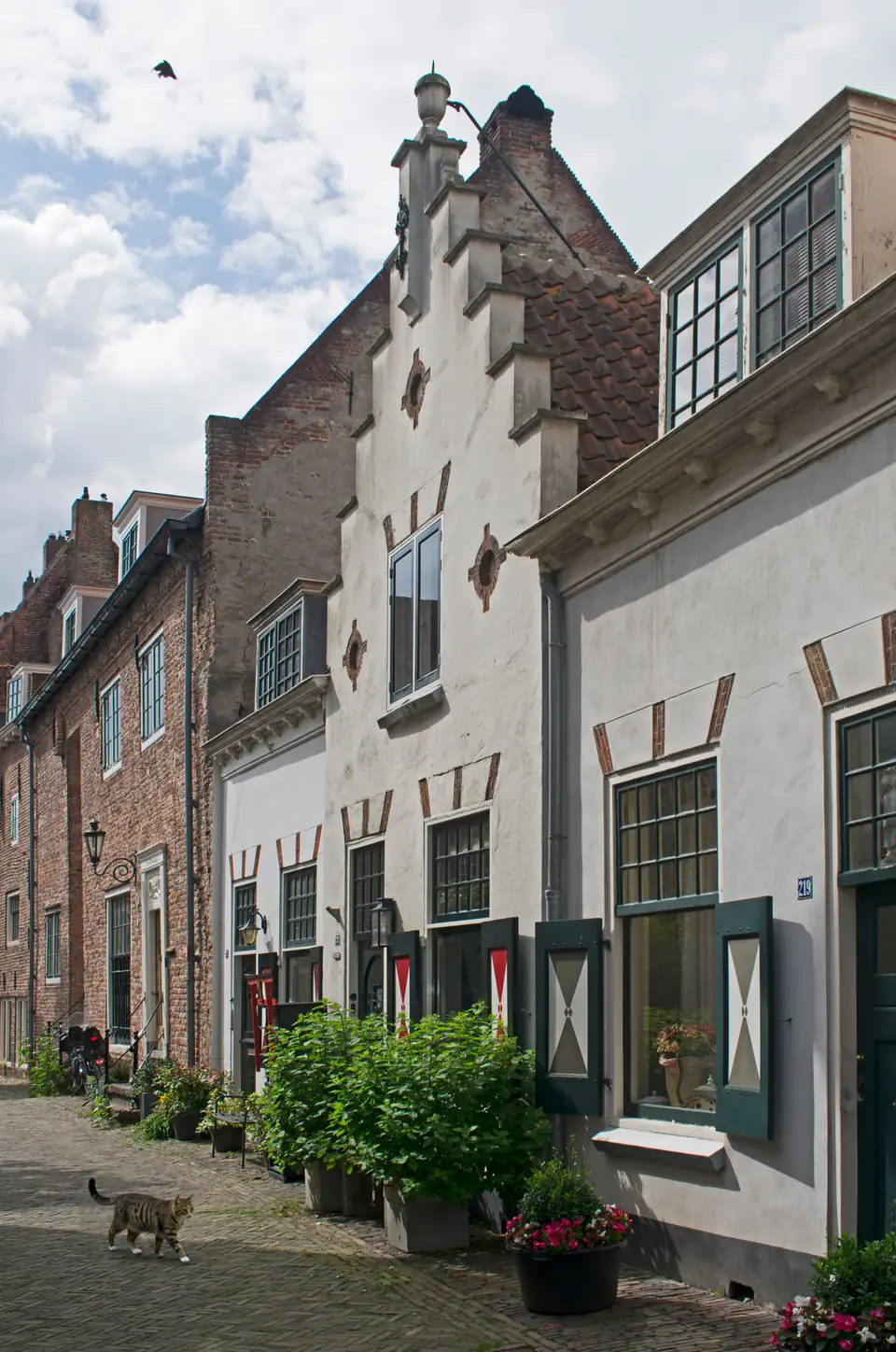
- Koppelpoort · Onze Lieve Vrouwetoren · the Muurhuizen · Mondriaanhuis · the Amersfoortse Kei · Kamp Amersfoort national memorial
- What Makes It Distinct
- A medieval ring town on higher sand, at the heart of the rail network
- Inside the Full Atlas
- 27 pages on Amersfoort, within the 233-page Netherlands Atlas.
Amersfoort & Its Surroundings
Wander the streets, waterways and neighboring towns before you go.
The pin marks the town center. The live map needs an internet connection.
A Closer Look at Amersfoort
Look Beyond the View
Fall for the view, then choose with clear eyes. The full Atlas explains the natural risks checked for this town and where a property deserves a closer look.
- See which natural hazards the research covers
- Tell town-wide conditions apart from one address
- Take the right questions to a local specialist
Picture the Journey
The town you love should be easy to reach, again and again. The full Atlas lays out how you get here, from the arrival point to the final stretch.
- Compare the main ways to get here
- Plan for repeat visits and everyday trips
- Weigh the trade-offs before you pick a base
Find Your Reasons to Stay
The places you remember mix scenery, streets and local life. The town chapter takes you past the first impression to the character underneath.
- Explore the setting, landmarks and local culture
- Discover what makes this town its own
- Picture the pleasures of a longer stay
Renting It While You’re Away
Thinking of renting your home out while you’re away? The Atlas sets the rental questions and local context right beside the place itself.
- Learn which rules and permits to check
- Gauge likely visitors and seasonal demand
- Weigh the practical limits on renting it out
Imagine an Ordinary Week
The view draws you in. Everyday life helps you decide. The full chapter covers the services and practical details of living here beyond a vacation.
- Check healthcare and everyday services
- Picture the shops, connections and daily routines
- See what life is like outside the busy season
Amersfoort and Around, in 6 Pictures
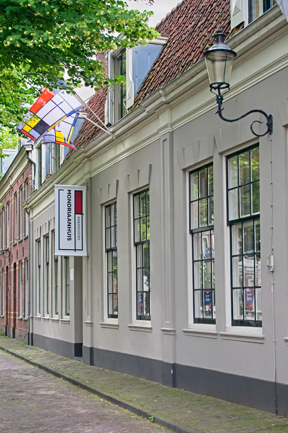
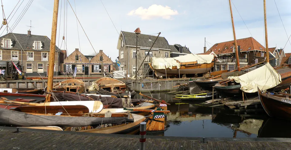
Images from the Atlas, each with its own source and edit notes.
Summary of the Netherlands Atlas, edition of 26 September 2026. The town order is our editorial ranking. About the Dossier.