Otaru
Canal Warehouses, Snow and a Historic Port
Explore the Town ↓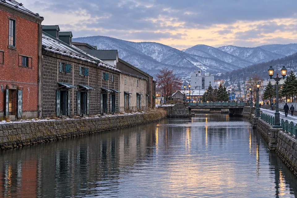
Life in Otaru
Old warehouses line the canal, with the sea in front and snowy hills behind. Otaru offers port-town character, local craft and rail access to Sapporo and Hokkaido’s main airport.
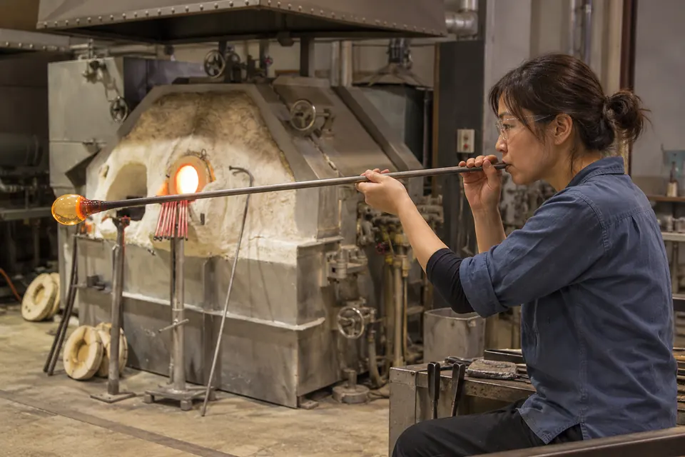
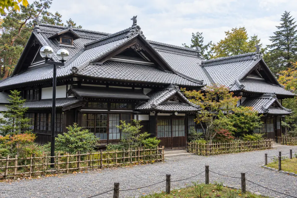
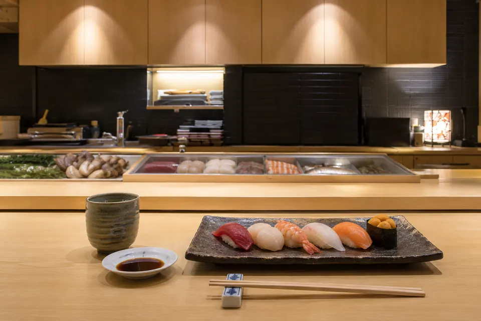
Otaru is a Meiji- and Taisho-era port of stone warehouses, a gas-lit canal, old bank buildings and glass workshops, climbing steep hills above Ishikari Bay, with sushi, ski slopes and Sapporo all close.
Otaru has the lowest earthquake figure of any candidate: a 0.4% chance of very strong shaking (intensity 6-lower on Japan’s scale) within 30 years, according to the Japan Seismic Hazard Information Station (J-SHIS). New Chitose Airport is 73 to 80 minutes away by direct rapid train.
- The population is shrinking fast: 100,404 people at the 2025 census, down 9.8% in five years.
- Residential land prices are falling.
- Some 5.5 m of snow falls each year on steep streets.
- The canal and port flats are in the tsunami zone.
- JR rapid Airport trains reach Sapporo in 33 to 41 minutes and New Chitose Airport in 73 to 80 minutes.
- Overnight ferries sail to Maizuru and Niigata.
- Region / Prefecture
- Shiribeshi subprefecture, western Hokkaido, on Ishikari Bay
- Population
- 100,404 (2025 Census preliminary count, published by the city in April 2026) · down 9.8% from 111,299 in 2020, after a fall of 8.7% from 2015 to 2020, the steepest of the eight
- Setting
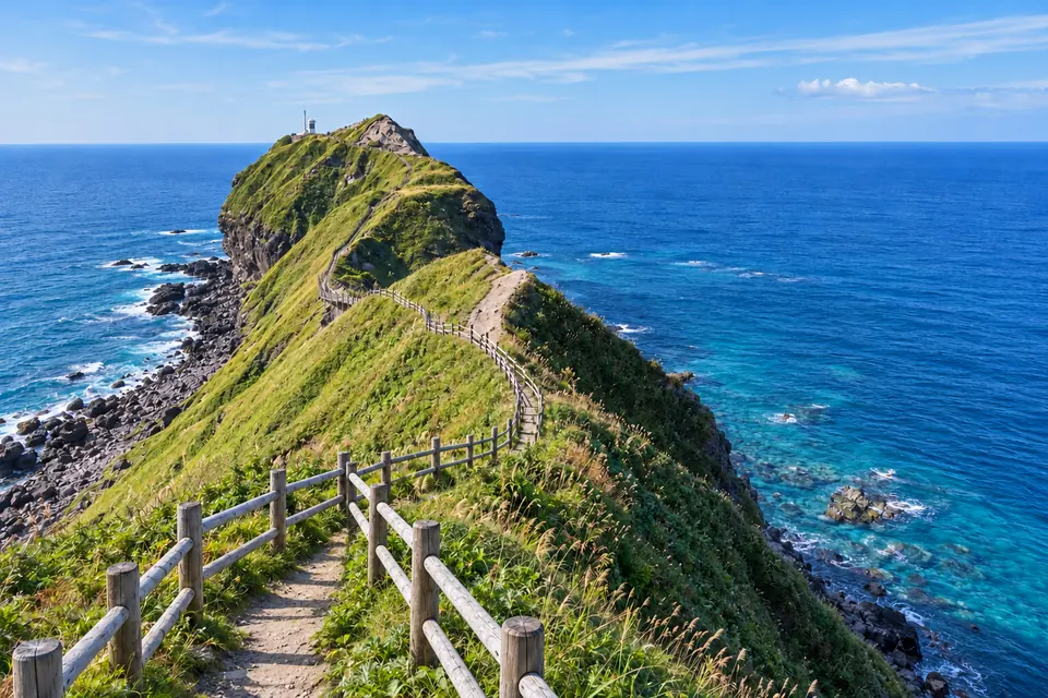
- A narrow strip of port and flats along the bay, backed by steep hills · ski hills directly above the town
- Heritage
- Otaru Canal and stone warehouses · the former bank street · Temiya railway heritage · herring mansions · glass and music boxes
- What Makes It Distinct
- The lowest earthquake figure on the list, a direct train to an international airport, and prices that reflect decline
- Inside the Full Atlas
- 27 pages on Otaru, within the 248-page Japan Atlas.
Otaru & Its Surroundings
Wander the streets, waterways and neighboring towns before you go.
The pin marks the town center. The live map needs an internet connection.
A Closer Look at Otaru
Look Beyond the View
Fall for the view, then choose with clear eyes. The full Atlas explains the natural risks checked for this town and where a property deserves a closer look.
- See which natural hazards the research covers
- Tell town-wide conditions apart from one address
- Take the right questions to a local specialist
Picture the Journey
The town you love should be easy to reach, again and again. The full Atlas lays out how you get here, from the arrival point to the final stretch.
- Compare the main ways to get here
- Plan for repeat visits and everyday trips
- Weigh the trade-offs before you pick a base
Find Your Reasons to Stay
The places you remember mix scenery, streets and local life. The town chapter takes you past the first impression to the character underneath.
- Explore the setting, landmarks and local culture
- Discover what makes this town its own
- Picture the pleasures of a longer stay
Renting It While You’re Away
Thinking of renting your home out while you’re away? The Atlas sets the rental questions and local context right beside the place itself.
- Learn which rules and permits to check
- Gauge likely visitors and seasonal demand
- Weigh the practical limits on renting it out
Imagine an Ordinary Week
The view draws you in. Everyday life helps you decide. The full chapter covers the services and practical details of living here beyond a vacation.
- Check healthcare and everyday services
- Picture the shops, connections and daily routines
- See what life is like outside the busy season
Otaru and Around, in 8 Pictures
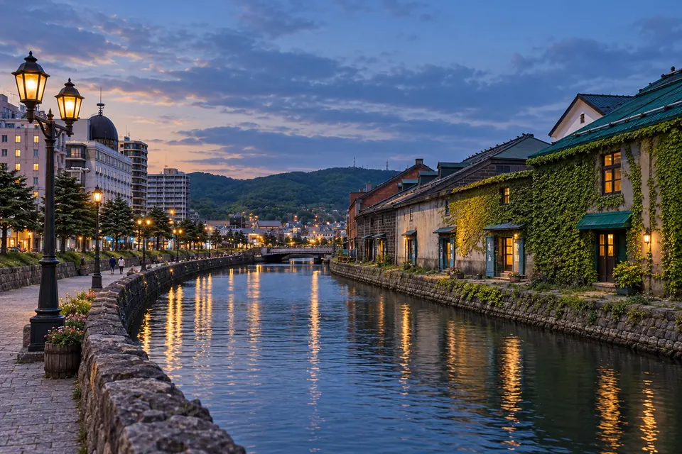
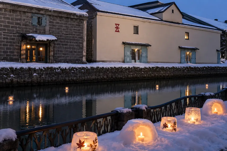
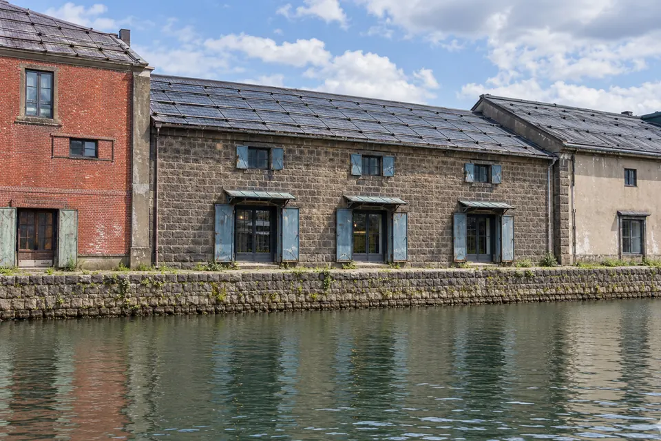

Images from the Atlas, each with its own source and edit notes.
Summary of the Japan Atlas, edition of 26 September 2026. The town order is our editorial ranking. About the Dossier.