Aizu-Wakamatsu
Samurai History and a Red-Tiled Castle
Explore the Town ↓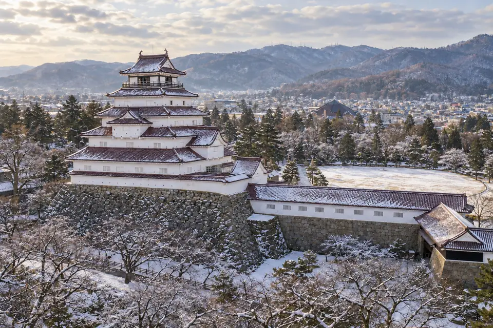
Life in Aizu-Wakamatsu
A red-tiled castle and samurai history give Aizu-Wakamatsu a strong identity in inland Fukushima. The city also has a university and an emergency medical center, with mountain country nearby.
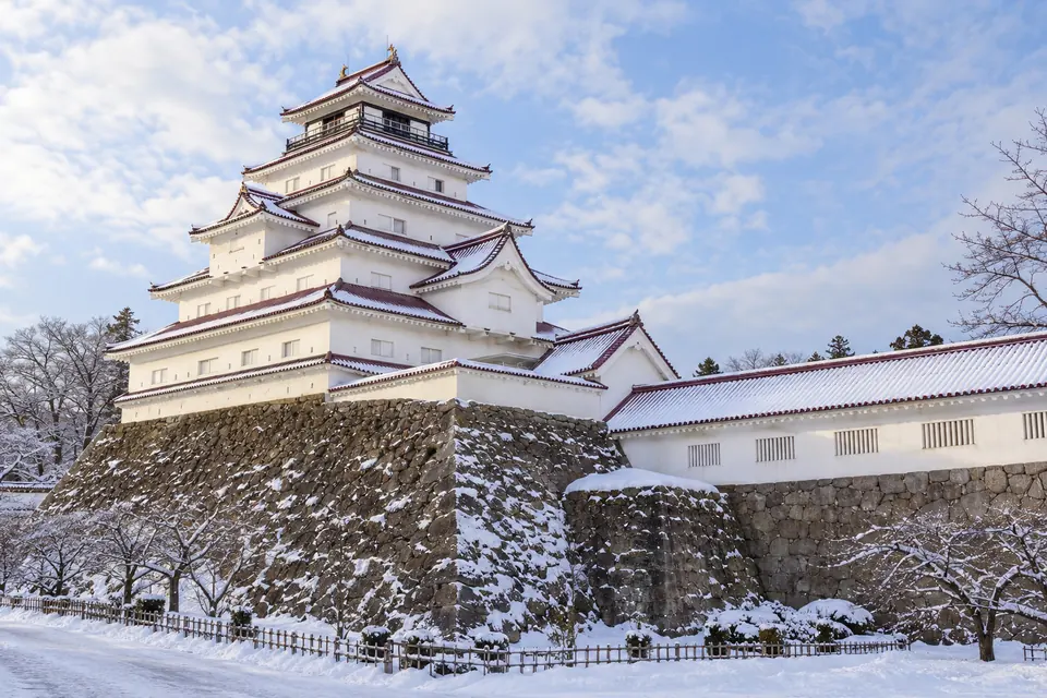
Aizu-Wakamatsu is a basin city with the deepest samurai history in northern Japan, a castle roofed in red tiles, sake breweries, lacquer workshops and some of the lowest prices of any real city on this list.
Aizu-Wakamatsu has the Aizu region’s only top-level critical care center, and Tokyo is under three hours away by rail via Koriyama. The Japan Seismic Hazard Information Station (J-SHIS) gives it a 3.2% chance of very strong shaking (intensity 6-lower on Japan’s scale) within 30 years.
- The Fukushima name puts some buyers off, though the city is 98 km inland from the Daiichi site.
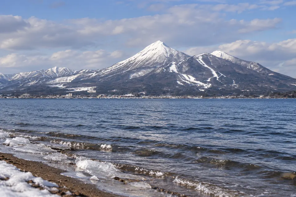
- Mt Bandai, 18 km away, is at alert level 1, with slightly raised earthquake counts.
- Winters are snowy.
- Land prices are soft.
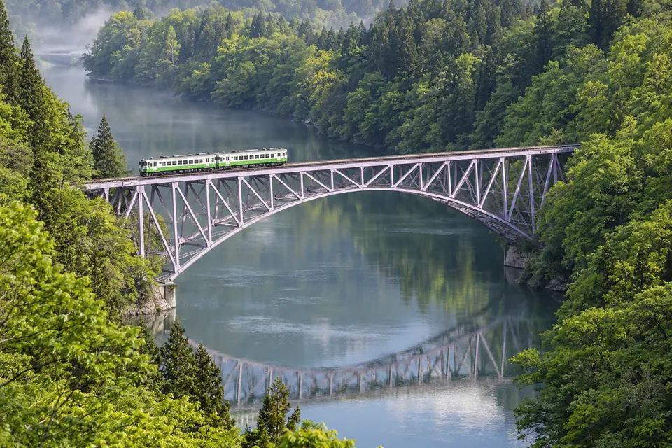
- The Ban'etsu West Line rapid reaches Koriyama in about 1 hr 5 min.
- From Koriyama, the Tohoku Shinkansen reaches Tokyo in about 1 hr 22 min.
- Region / Prefecture
- The Aizu basin, western Fukushima Prefecture, southern Tohoku
- Population
- 109,015 (2025 Census preliminary count, 1 October 2025, whole municipality), down 7.1% from 117,376 in 2020
- Setting
- Basin floor ringed by mountains · Mt Bandai (1,816 m) and Lake Inawashiro to the north-east · 98 km in a straight line from the Daiichi site
- Heritage
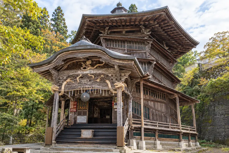
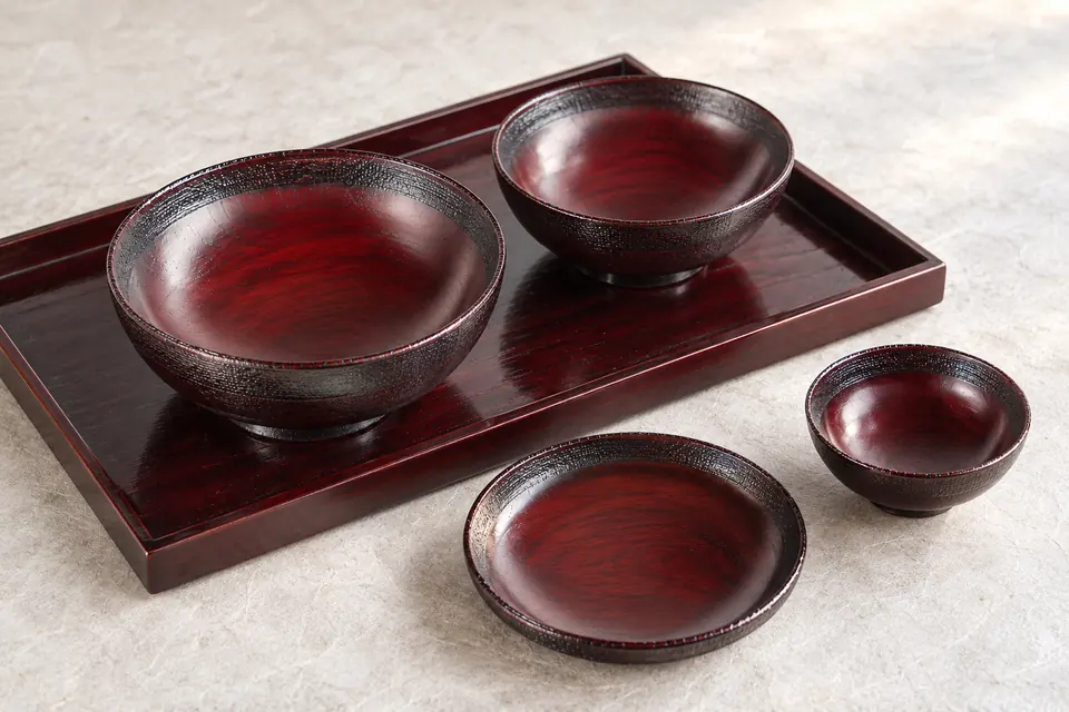
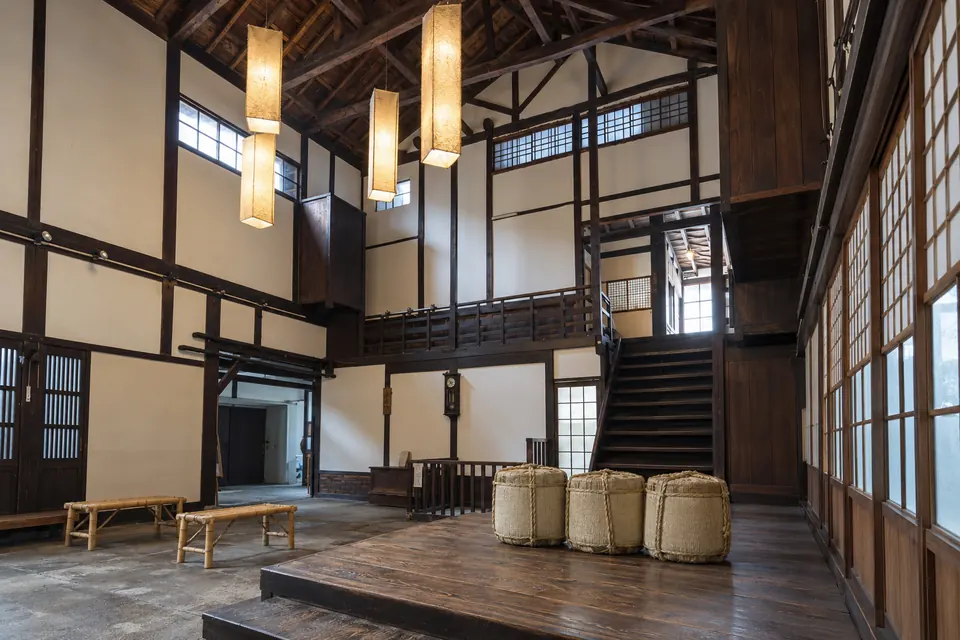
- Tsuruga Castle · Iimoriyama and the Byakkotai · the Sazaedo spiral hall · Nisshinkan domain school · Aizu lacquer, sake and akabeko
- What Makes It Distinct
- A full samurai city at a discount, 98 km and a mountain range from the Daiichi plant
- Inside the Full Atlas
- 29 pages on Aizu-Wakamatsu, within the 248-page Japan Atlas.
Aizu-Wakamatsu & Its Surroundings
Wander the streets, waterways and neighboring towns before you go.
The pin marks the town center. The live map needs an internet connection.
A Closer Look at Aizu-Wakamatsu
Look Beyond the View
Fall for the view, then choose with clear eyes. The full Atlas explains the natural risks checked for this town and where a property deserves a closer look.
- See which natural hazards the research covers
- Tell town-wide conditions apart from one address
- Take the right questions to a local specialist
Picture the Journey
The town you love should be easy to reach, again and again. The full Atlas lays out how you get here, from the arrival point to the final stretch.
- Compare the main ways to get here
- Plan for repeat visits and everyday trips
- Weigh the trade-offs before you pick a base
Find Your Reasons to Stay
The places you remember mix scenery, streets and local life. The town chapter takes you past the first impression to the character underneath.
- Explore the setting, landmarks and local culture
- Discover what makes this town its own
- Picture the pleasures of a longer stay
Renting It While You’re Away
Thinking of renting your home out while you’re away? The Atlas sets the rental questions and local context right beside the place itself.
- Learn which rules and permits to check
- Gauge likely visitors and seasonal demand
- Weigh the practical limits on renting it out
Imagine an Ordinary Week
The view draws you in. Everyday life helps you decide. The full chapter covers the services and practical details of living here beyond a vacation.
- Check healthcare and everyday services
- Picture the shops, connections and daily routines
- See what life is like outside the busy season
Aizu-Wakamatsu and Around, in 8 Pictures

Images from the Atlas, each with its own source and edit notes.
Summary of the Japan Atlas, edition of 26 September 2026. The town order is our editorial ranking. About the Dossier.