Saint Andrews
A Loyalist Grid on Passamaquoddy Bay, Looking Back at Maine Across the Tide
Explore the Town ↓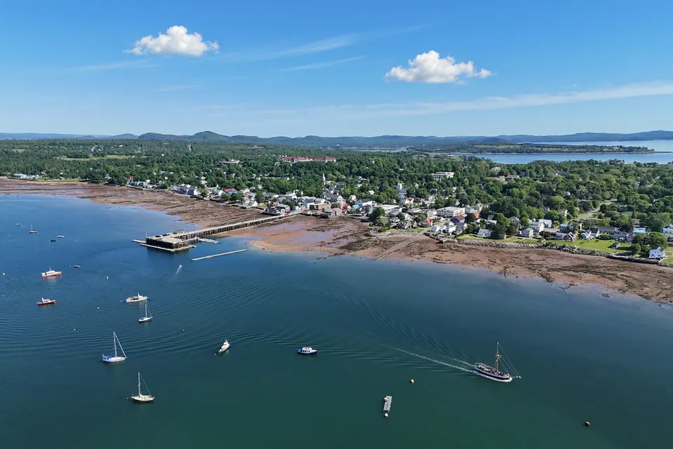
Life in Saint Andrews
A historic street grid meets Passamaquoddy Bay, with gardens, whale-watching and Maine across the water. Saint Andrews is a small coastal base with a lively summer rhythm.
Saint Andrews is a 1783 Loyalist town at the mouth of the St. Croix River, with a historic district of clapboard houses, a grand railway-era resort, a great garden and whales in the bay. Maine is a short drive away.
Along with Knowlton, Saint Andrews is the cleanest purchase on the list and the Maritime town closest to the US. It sits outside the census areas covered by the federal ban, in a province with no foreign-buyer surtax.
- It is a small town of 2,048 people (2021), well below the Atlas’s 5,000 floor.
- The economy runs on summer.
- It has the highest building-code earthquake value on this list.
- New Brunswick taxes second homes.
- Saint John airport is about 130 km away, 1 hr 30 min to 1 hr 45 min, with connections through Canadian hubs.
- Bangor, Maine, is about 200 km away, some 3 hr via the Calais border crossing.
- Province / County
- New Brunswick · Charlotte County · on Passamaquoddy Bay, an arm of the Bay of Fundy
- Population
- 2,048 (Statistics Canada, 2021 Census, old boundary) · on 1 January 2023 the town annexed the former local service districts of Bayside and Chamcook, and no census figure for the enlarged town has yet been published · below the 5,000 floor either way
- Setting
- 1783 Loyalist grid on a peninsula at the mouth of the St. Croix River, facing Maine across the water
- Heritage
- Saint Andrews Historic District NHS · St. Andrews Blockhouse NHS (War of 1812) · the Algonquin Resort · Ministers Island and Van Horne's Covenhoven
- What Makes It Distinct
- A historic seaside resort you can buy into now, about half an hour from the Maine border
- Inside the Full Atlas
- 27 pages on Saint Andrews, within the 243-page Canada Atlas.
Saint Andrews & Its Surroundings
Wander the streets, waterways and neighboring towns before you go.
The pin marks the town center. The live map needs an internet connection.
A Closer Look at Saint Andrews
Look Beyond the View
Fall for the view, then choose with clear eyes. The full Atlas explains the natural risks checked for this town and where a property deserves a closer look.
- See which natural hazards the research covers
- Tell town-wide conditions apart from one address
- Take the right questions to a local specialist
Picture the Journey
The town you love should be easy to reach, again and again. The full Atlas lays out how you get here, from the arrival point to the final stretch.
- Compare the main ways to get here
- Plan for repeat visits and everyday trips
- Weigh the trade-offs before you pick a base
Find Your Reasons to Stay
The places you remember mix scenery, streets and local life. The town chapter takes you past the first impression to the character underneath.
- Explore the setting, landmarks and local culture
- Discover what makes this town its own
- Picture the pleasures of a longer stay
Renting It While You’re Away
Thinking of renting your home out while you’re away? The Atlas sets the rental questions and local context right beside the place itself.
- Learn which rules and permits to check
- Gauge likely visitors and seasonal demand
- Weigh the practical limits on renting it out
Imagine an Ordinary Week
The view draws you in. Everyday life helps you decide. The full chapter covers the services and practical details of living here beyond a vacation.
- Check healthcare and everyday services
- Picture the shops, connections and daily routines
- See what life is like outside the busy season
Saint Andrews and Around, in 6 Pictures
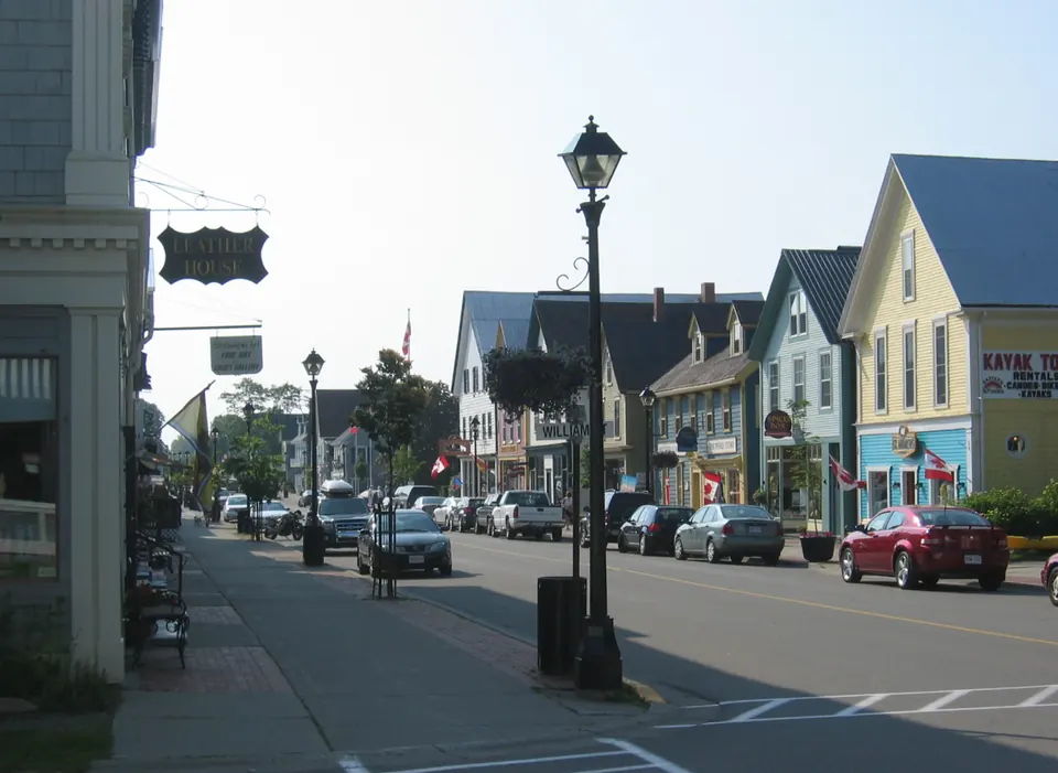
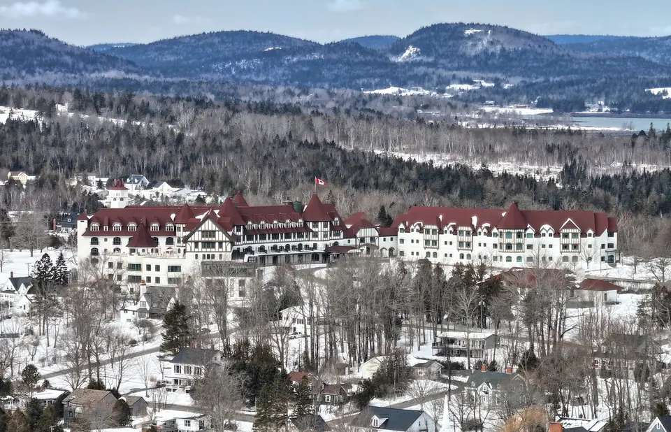
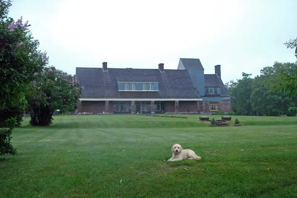
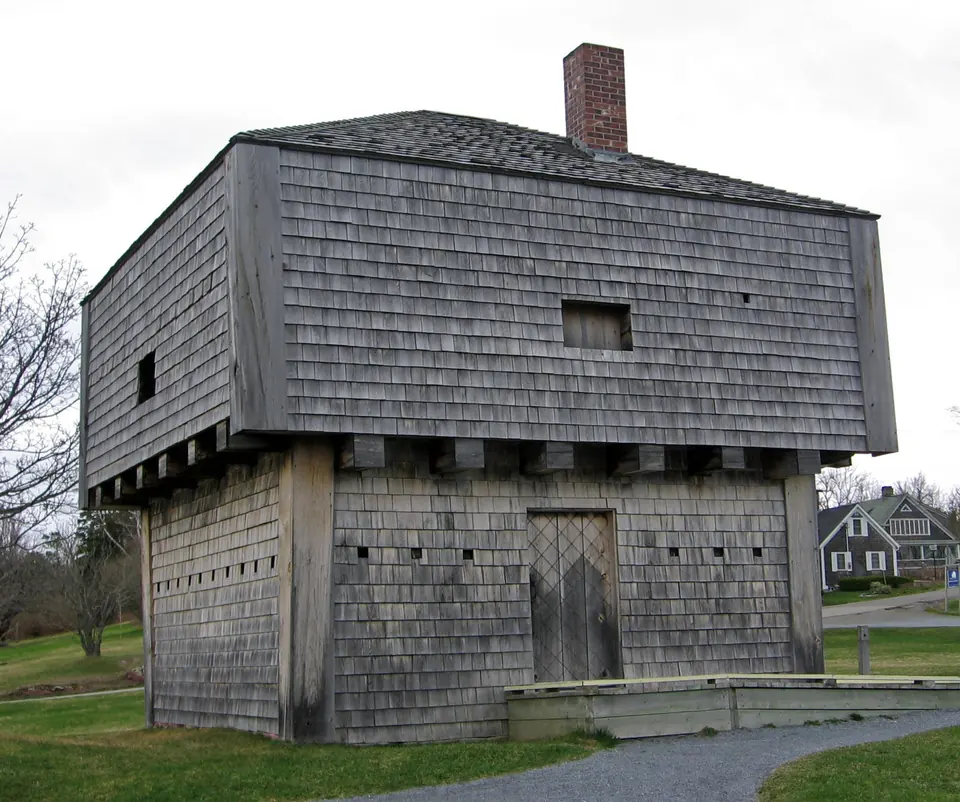

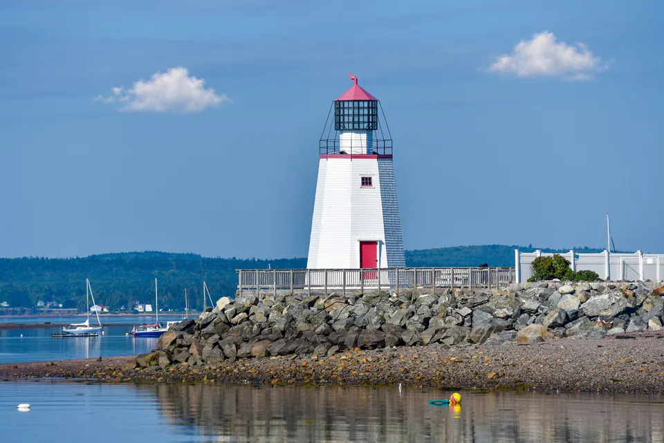
Images from the Atlas, each with its own source and edit notes.
Summary of the Canada Atlas, edition of 26 September 2026. The town order is our editorial ranking. About the Dossier.